18 March 2026
When experiencing a cyclone, Queenslanders should visit the Queensland Government Disasters webpage for information about conditions in your local area (flooding, road closures, weather warnings, school closures, emergency contact details).
For the latest weather warnings, visit the Bureau of Meteorology website.
Get help in an emergency
Call 000 for emergencies
Call 132 500 for Queensland SES storm and flood support
Radio VHF16 for Marine Rescue
Dial 106 for Teletypewriter (TTY) emergency service
🌪️ Cyclone Narelle – Frequently Asked Questions
| Question | Information |
|---|---|
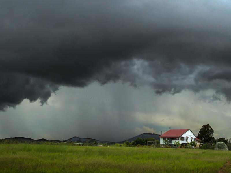
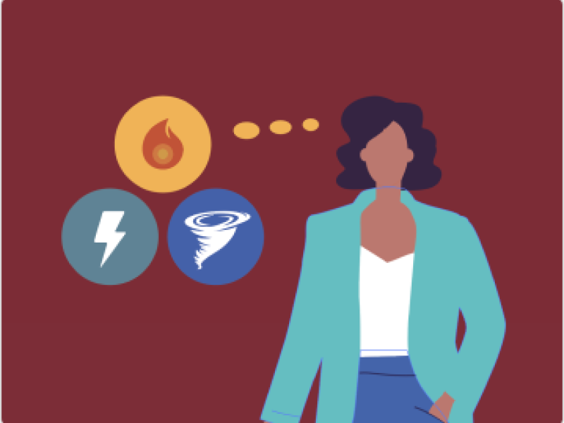
| What should I expect from Cyclone Narelle? | Watch this video for an animation of what to expect in a cyclone Cyclones typically bring destructive winds, heavy rainfall, flash and riverine flooding, and storm surge along coastal areas. Communities may experience power outages, road closures, damage to their home and property and experience isolation due to roads cut off. |
| What are the cyclone categories and what do they mean for us? | The Bureau of Meteorology classifies cyclones from Category 1–5: Category 1 – Damaging winds
Category 2 – Destructive winds
Category 3 – Severe (very destructive winds)
Category 4 – Very severe
Category 5 – Extreme
|
| I’ve been through cyclones before, what’s different this time? | Every cyclone is different. Impacts depend on track, intensity and timing. Even if your home is well prepared, flooding, storm surge or road closures may still affect access to supplies, work, school and emergency services. |
| What areas are most at risk? | Coastal and low-lying areas are at risk from storm surge. Inland communities may experience flooding and isolation due to heavy rainfall. Remote communities should plan to be self-sufficient. |
| What is storm surge and why is it dangerous? | Storm surge is a rapid rise in sea level caused by the cyclone. It can inundate coastal communities quickly and is often life-threatening. If you are in a storm tide evacuation zone, follow advice early. |
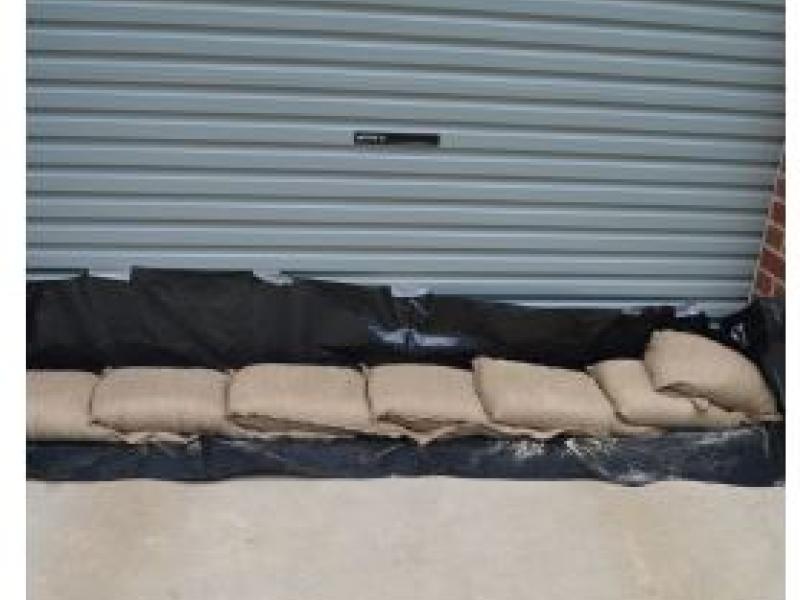
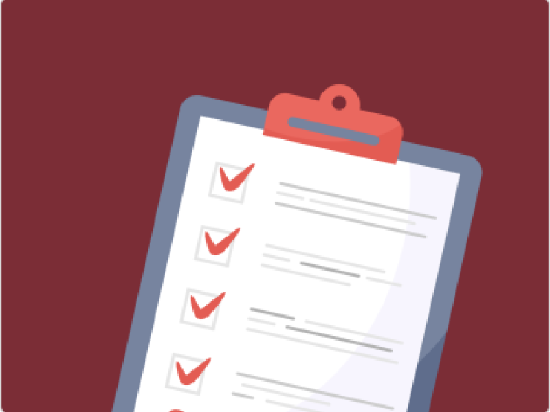
| What should I do now that a warning is in place? | Finalise your emergency kit, secure your home, fuel your vehicle, charge devices and monitor updates. If advised, prepare to leave early and don't wait until conditions worsen. |
| How long should I be prepared to be without power or access? | In remote and regional areas, outages and isolation may last several days to a week or more. Plan for at least 7 days of food, water and essential supplies. |
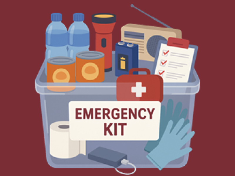
| What should I include in my cyclone emergency kit? | Water, non-perishable food, medications, first aid kit, torch, batteries, radio, phone chargers, important documents, hygiene items and supplies for children, pets or specific needs. |
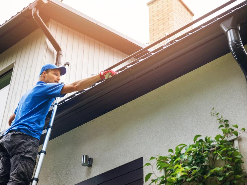
| How do I prepare my home in the warning area? | Tie down or bring in outdoor items, secure boats and trailers, clear gutters, trim branches and check your roof. Use shutters or board up windows if needed. |
| Should I evacuate or stay? | Follow advice from authorities. If you are in a storm surge zone, low-lying coastal area or unsafe housing, evacuation may be necessary. Make the decision early while roads are still safe. |
| What if I choose to stay? | Shelter in the strongest part of your home, away from windows (e.g. bathroom or hallway). Have mattresses or heavy blankets ready for protection. Stay indoors for the entire event. |
| Is it safe to go outside during the cyclone? | No. Even experienced residents should remain inside. Flying debris, falling trees and sudden wind changes are extremely dangerous. |
| What is the cyclone “eye”? | The eye is a temporary calm period. Dangerous winds will return quickly from the opposite direction. Do not go outside during this time. |
| What should I expect after the cyclone passes? | Flooding, debris, fallen powerlines and damaged infrastructure are common. Roads may remain closed and services disrupted. Continue monitoring official updates. |
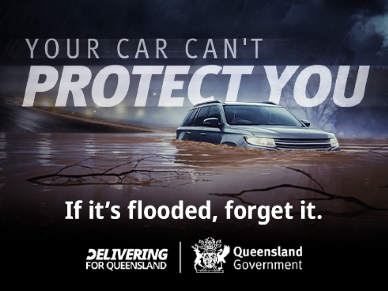
| Can I drive after the cyclone? | Only if necessary and when authorities advise it is safe. Roads may be flooded, damaged or blocked. Never drive through floodwater, conditions can change quickly. |
| What if my community becomes isolated? | Isolation is common in Far North and remote areas. Ensure you have enough supplies, check in on neighbours and stay connected via radio or official channels where possible. |
| How can I support neighbours and vulnerable people? | Check in early, help them prepare kits and plans, and ensure they understand warnings. After the cyclone, check on their safety when conditions allow. |
| I’m new to the area or visiting, what should I do? | Follow local advice closely. If you’re in temporary accommodation, speak with staff about their cyclone plan. Know your nearest evacuation centre and avoid unnecessary travel. |
| Will schools, shops and services close? | Yes, closures are likely in the lead-up to impact. Plan ahead for food, fuel and medications. Do not leave preparations until the last minute. For latest updates on school closures, visit: https://closures.qld.edu.au/ |
| What about pets and livestock? | Bring pets indoors or to shelter early. Ensure food, water and identification. Move livestock to higher ground where possible. |
| Where can I get reliable updates? | Monitor the Bureau of Meteorology, local council disaster dashboards, Disaster Management Queensland, ABC Radio and official emergency services. |
| Where can I get help? | Emergency: call 000. SES assistance: 132 500. Follow local council updates for evacuation centres and recovery support. |
| Why should I fill up my bathtub before a cyclone? | Filling your bathtub before a cyclone gives you a backup supply of water in case your tap water is shut off. Bathtub water can be used for flushing toilets, cleaning, or bathing. It’s not usually safe for drinking, so keep separate clean containers for drinking water. |
Cyclone Narelle warning area: View your local Disaster Dashboard
| Council / Authority | Dashboard / Link | |

| Cook Shire | https://disaster.cook.qld.gov.au/ |
| Douglas Shire | https://dashboard.douglas.qld.gov.au/ | |
| Wujal Wujal Aboriginal Shire Council | https://dashboard.tcica.com.au/ | |

| Weipa Town Authority | https://disaster-dashboard.weipatownauthority.com.au/ |
| Aurukun Shire Council | https://emd.aurukun.qld.gov.au/ | |

| Pormpuraaw Aboriginal Shire | https://dashboard.tcica.com.au/ |

| Mapoon Aboriginal Shire Council | https://dashboard.tcica.com.au/ |
| Hope Vale Aboriginal Shire Council | https://disaster.cook.qld.gov.au/ | |
| Lockhart River Aboriginal Shire Council | https://dashboard.tcica.com.au/ | |
| Kowanyama Aboriginal Shire Council | https://dashboard.kowanyama.qld.gov.au/ | |
| Napranum Aboriginal Shire Council | https://dashboard.tcica.com.au/ |